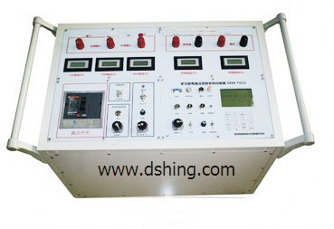
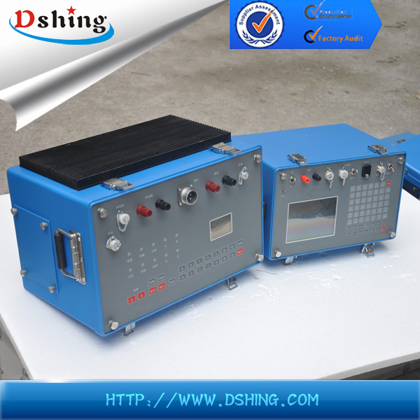
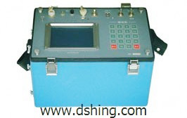
Other Test Instruments
Parcourez les produits other test instruments de nos fournisseurs vérifiés.
Get Sourcing Help for Other Test Instruments
Tell us your requirements and our experts will connect you with verified manufacturers.
Parcourez les produits other test instruments de nos fournisseurs vérifiés.
Tell us your requirements and our experts will connect you with verified manufacturers.
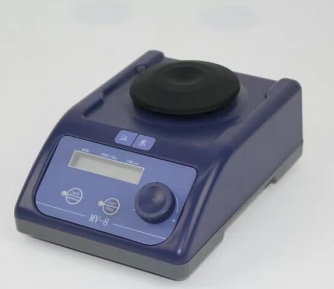
This vortex mixer features an LCD screen for displaying time and speed, which are easily adjustable. It utilizes a sensor device to automatically recognize different types of installed fixtures.
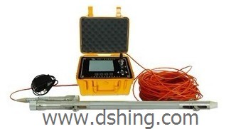
This engineering seismograph is used for engineering geological surveying, dike surveying, and ground investigations. The device is widely used in areas needing accurate subsurface imaging.

This engineering seismograph is used for geological surveying, dike surveying, and ground investigations. The portable seismograph records up to 24 channels of seismic data with high resolution and low noise.
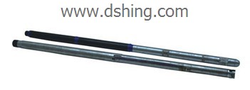
This intelligent engineering logging system is designed for digital integrated logging in hydrology, coal fields, and various mineral explorations. It supports external laptop or desktop PC connections for indoor use.
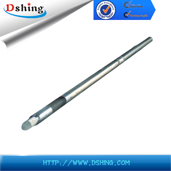
This combined sidewall probe is designed for stratum lithology acquisition and strata division. It determines resistivity, porosity, and volume density and also evaluates the content of radiate minerals such as K and U.
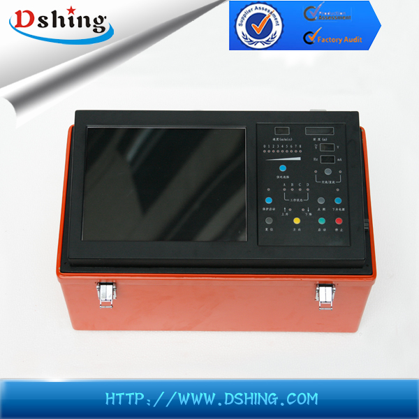
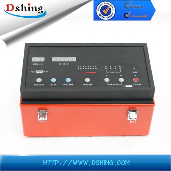
This integrated system combines an acquisition host machine, winch controller, and industrial PC. It supports both upward and downward logging and can receive digital, analog, and pulse signals.
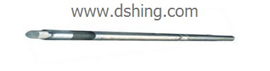
This probe is used for exploring dry boreholes. It employs compensated density to divide strata and determine rock porosity and volume density.
This system uses a reflective axicon lens to capture 360° images of borehole walls. Computer processing creates a continuous, developed image of the hole wall.
This three-lateral direction resistivity laterolog probe determines the resistivity of rock strata. It is designed for measuring the electrical resistivity of subsurface formations in borehole logging to determine the lithology, porosity, and fluid content of geological formations.
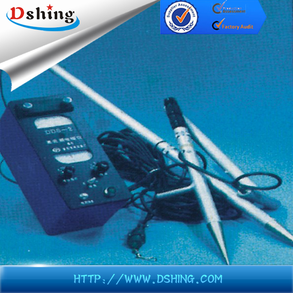
This electronic auto-compensation instrument is designed for precise measurements. It features a user-friendly interface with a digital display and keypad for easy operation.
This magnetometer measures the Earth's magnetic field using the proton precession principle. It is designed for geophysical exploration, geological surveys, and mineral prospecting.
This electromagnetic instrument measures magnetic field horizontal and vertical components. It also measures polarized ellipse inclination and ground electric field horizontal components.
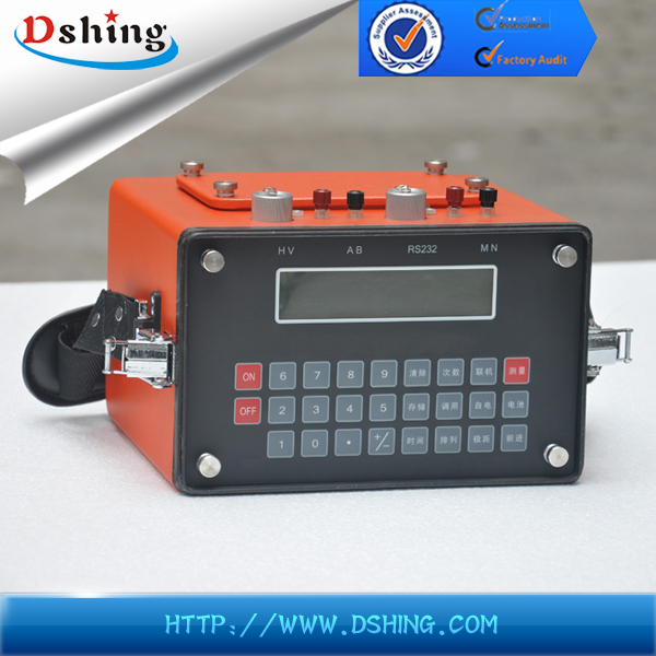
This system adopts all-digital automatic measurement, executing automatic compensation for spontaneous potential, drift, and electrode polarization. It uses a large screen LCD display.
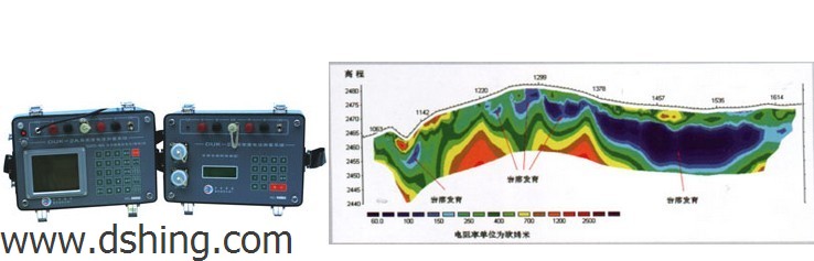
The Electromagnetic Survey System is designed for comprehensive geophysical exploration and subsurface imaging. It integrates a high-power transmitter and sensitive receiver for accurate data acquisition.
This prospector applies a 200A square wave for continuous power supply using a portable power source. The power supply method employs a large currency small coil, with a 25m transmitting coil, to achieve prospecting depth.
This system is designed for investigation works including metal mine, coal field, oil field gas, geothermal, and water resources surveys. It also supports environmental pollution detection with lead synchronization technology.
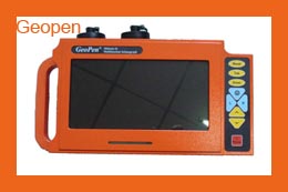
This transient electromagnetic prospector uses a USB port for easy data transmission. It is a portable electromagnetic system suitable for complex geological conditions, used in geophysical prospecting and engineering detection.
This foundation inclinometer is a precision instrument for measuring subsurface ground movement and deformation. The system is used for monitoring slope stability, landslide activity, and the integrity of foundations and retaining structures.